JETIAir, LLC - The Data Analytics Professionals
"Don't fly blind."
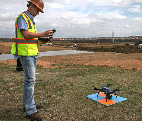
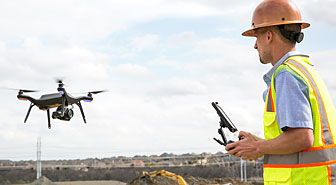
 JETIAir, LLC provides a cloud-based software platform for modeling UAV data along with associated services that enable our clients to have immediate access to highly accurate and budget critical site data and analytics and the tools to disseminate this data efficiently throughout the organization.
Our Solution
- TraceAir Site Balance
- Software Platform
- UAV Data Collection
- Scans & Uploads
- Pad Grade Verification
- Other Exhibits & Reports
Our methodology is safer, faster, more accurate and cheaper than traditional methods, and we’ll prove it to you. Our clients save an average of 30% to 50% of hard costs by utilizing this technology.
The TraceAir Solution

JETIAir, LLC provides teams on large and small land development projects with the tools to balance their jobs with the least amount of resources.
Consulting & Other Services

From consulting and training, to surveying and mapping, JETIAir, LLC offers a whole host of service options to a wide spectrum of industries.
Follow the JetiAir Blog

Stay current with news and information straight from JETIAir, LLC. We publish new content every month and invite you to follow along.
We Appreciate All Our Customers...
"TraceAir allows us to evaluate important site balance issues early on in the each of the grading phases; remedial, canyon clean outs, cut slope bulk shrink characterization, so that timely and efficient adjustments can be made."


