Consulting and Other Services
JETIAir provides teams on large and small land development projects with the tools
to balance their jobs with the least amount of resources.
JETIAir Wants To Work With You!
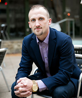
J.E. Thompson III - "Jake"
JETIAir and JETI Consulting, LLC
JETIAir works with Land Developers, Civil Engineers, Geotechnical Engineers and Grading Contractors. We allow you to be on top of the site balance, finish the project on time and save on the contingency budget. Now you can invest your time on revenue-generating activities and not on design changes due to site balance issues. We provide you with the tools to reduce costs by reducing rework, optimizing equipment operations, and ultimately win more jobs.

JETIAir Consulting
UAV Consulting and Training
UAV Surveying and Mapping
Land Planning and Consulting
- Subdivision Layout & Design
- Road & Route Planning
Conceptual and Site Planning
Energy Consulting
- Renewable
- Oil & Gas
City & Municipal
Construction Packages
Landfill Management
JETIAir Services
Land Planning and Consulting
Landfill Management
UAV Consulting and Training
Environmental Engineering and Planning
Energy Consulting
Surface Water
City and Municipal
Survey and Geospatial
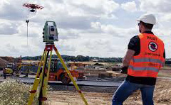
Site Balance, Revolutionized
OLD WAY - Mainly Manual and Takes Forever
- Collect data: manual or semi-automated
- Process and analyze the data: manual
- Refine the query: back and forth
- Make decisions: days to weeks
NEW WAY - Automated and Near Real-Time
- Collect data: automated
- Process and analyze the data: semi-automated
- Refine the query: during the meeting
- Make decisions: hours
How It Works!
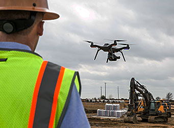
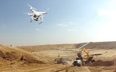
1.) SET UP YOUR FLIGHT MARKERS AND SCAN THE SITE
Scan your site as frequently as you need to capture the progress of construction.
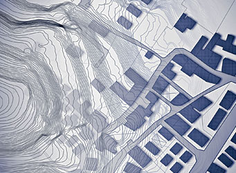
2.) UPLOAD PROJECT DATA
Upload drone data, design grades, remedial models, plans (civil, geotech, environmental), and markers to get a new level of insights.
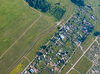
3.) GET A LIVE MAP OVERNIGHT
JetiAir automatically compares the plan to actual picture to provide insights and tools to estimate, plan, and track progress.
Complete Site Balance Solution
The balance solution requires multiple components, some of which TraceAir provides
and the others may be provided by your current team members.
Core Technology
TraceAir has a unique 54-step process that allows to achieve and verify accuracy down to 1/10th of a foot
Easy-to-use Cloud-Based Platform
Keep all site balance related data online and available from any device at any time to make instant decisions and keep the team updated
Drone Operations
We help your team set up your drone and provide the pilot with the required training & tools to have you flying the site in no time
Field Operations
We are here to help you get your flight markers set up and properly maintained by your surveyors or grading contractors
Responsive Support
Our customer success and technical support teams are here to answer assist you at any time
Consulting Services
We assist your consultants in using the new data to solve balance issues
Quality Assurance & Quality Control
We conduct QA/QC on both drone topos and balance calculations to ensure that you can rely on the data
Bulk/Shrink Calculations
TraceAir precisely tracks how much dirt has been moved and calculates bulk/shrink coefficients after every drone scan
Integrations with CAD
Your engineers can get drone topos in the formats to easily use in their CAD software
3D Design Surface
We use the GPS model from your grading contractor or build the 3D surface from the 2D drawings provided by your engineers
3D Remedial Model
We collaborate with your geotechnical engineers to build a proposed remedial model for quantity estimates
Remedial As-Built Model
We take the remedial as-built model from your consultants as an input or build it from sub-ex bottom shots taken by your surveyor/contractor
We Appreciate All Our Customers...
"TraceAir allows us to evaluate important site balance issues early on in the each of the grading phases; remedial, canyon clean outs, cut slope bulk shrink characterization, so that timely and efficient adjustments can be made."
